FIND YOUR
region within the WATERSHED
Casco Bay is an estuary – a place where rivers meet the sea. Casco Bay was named an “estuary of national significance” (a designation under the Clean Water Act) in 1990 because of its richness and diversity of marine life. The Casco Bay Watershed is the land area from which water flows into rivers and streams and ultimately, into Casco Bay.
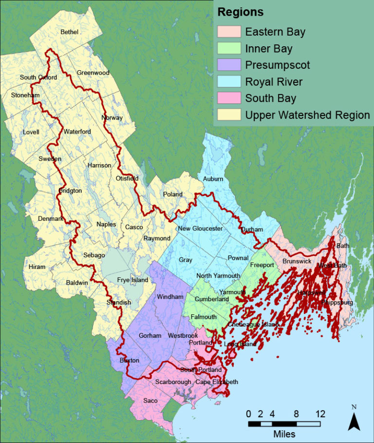
Home to 850 marine species and about 8,200 acres of eelgrass beds, Casco Bay supports important commercial species like clams, lobsters, and various fish. Spanning nearly 200 square miles from Cape Elizabeth to Cape Small in Phippsburg, Casco Bay’s waters and islands are a vital part of the region’s ecosystem. The Casco Bay Watershed stretches from the western mountains near Bethel to the coast, with its six regions defined by municipal boundaries. Each region’s description includes maps and details about local organizations serving that area.
Twelve significant lake and river systems feed the Bay, including Sebago Lake and three major freshwater tributaries: the Presumpscot, Royal and Stroudwater Rivers. Casco Bay is dotted with roughly 785 islands, islets, and exposed ledges.
Towns in the Casco Bay watershed have been divided into six regions that cluster around major subwatersheds:
Eastern Bay
New Meadows; Harpswell Sound/Quahog; Maquoit & Middle Bays
Inner Bay
Harraseeket River; Broad Cove/Cumberland & Falmouth Foresides; Islands
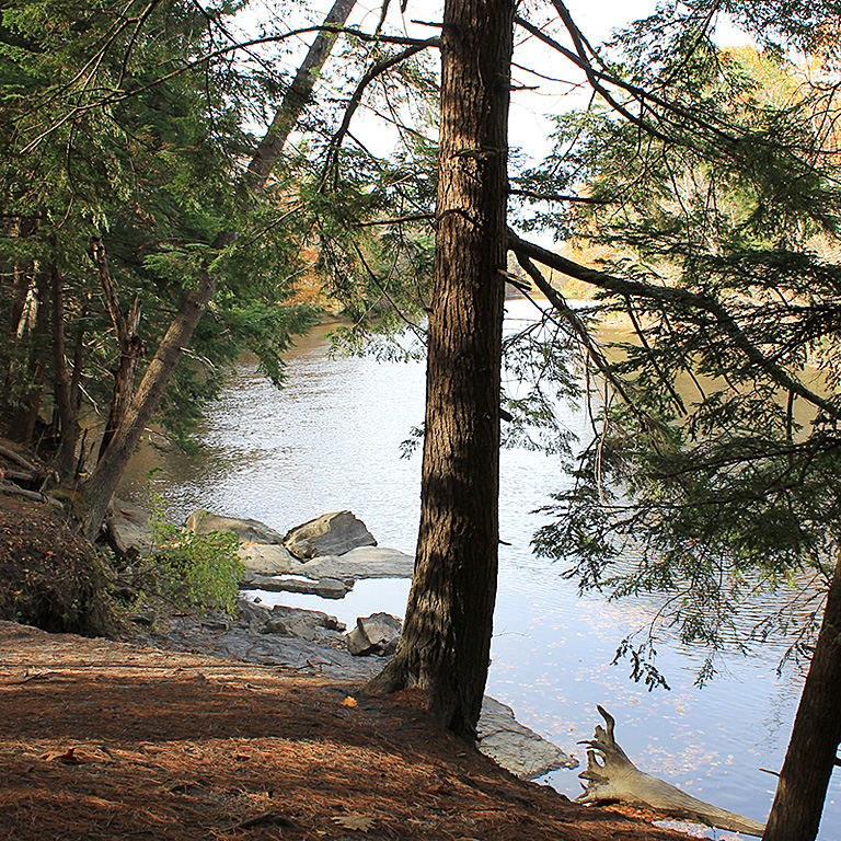
Presumpscot
Lower Presumpscot
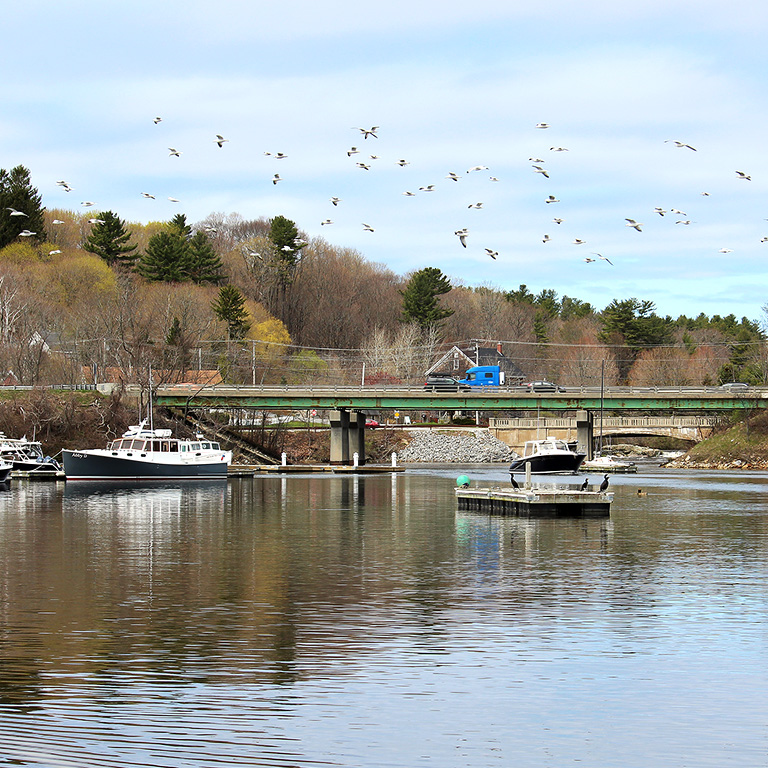
Royal
Royal & Cousins Rivers
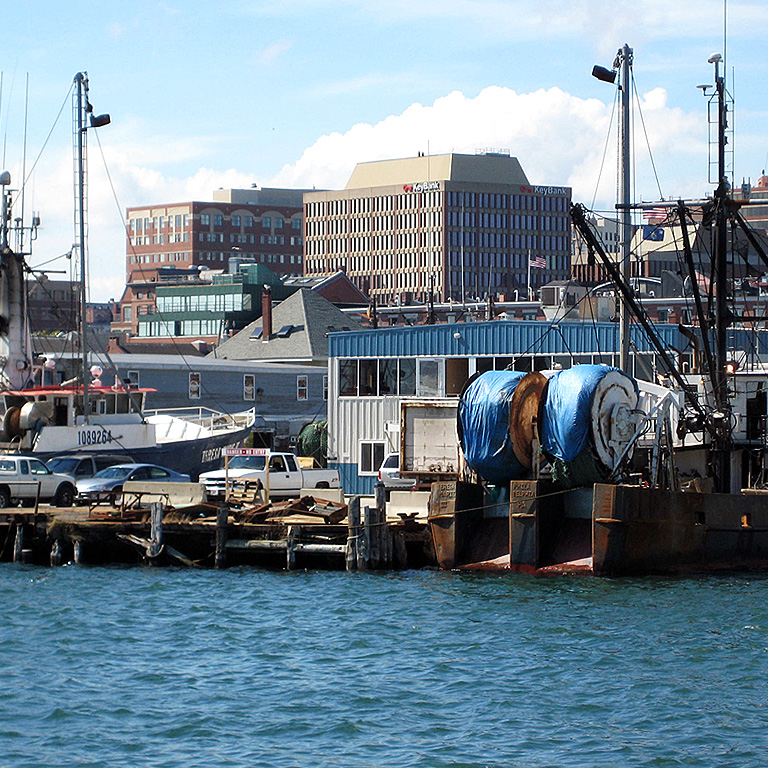
South Bay
Fore River & Back Cove; Southern Bay
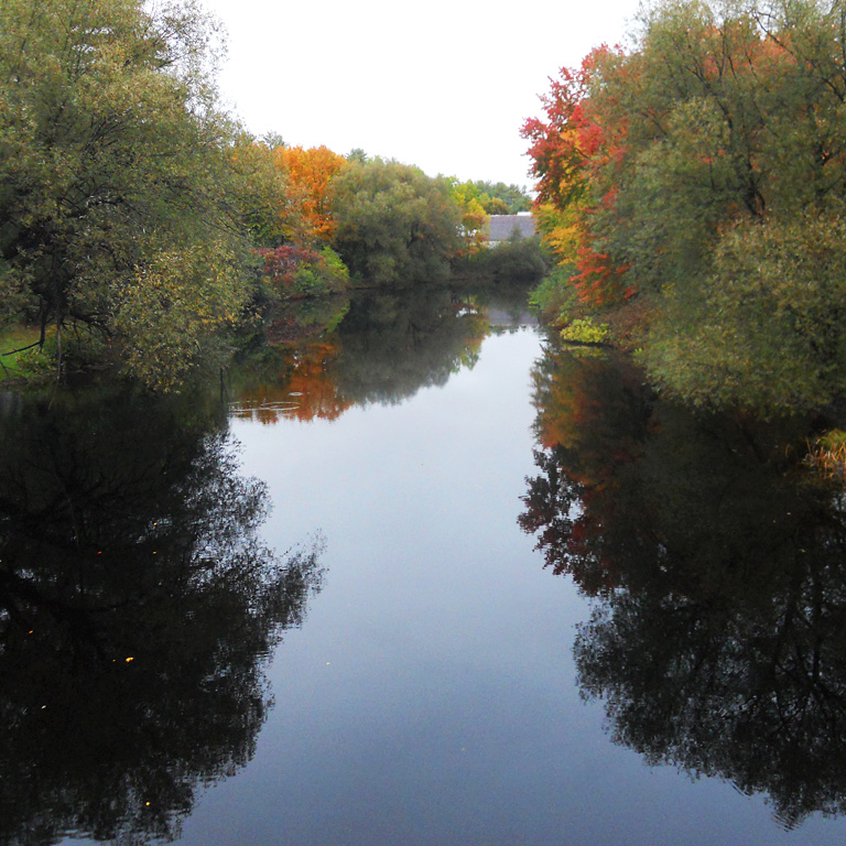
Upper Watershed
Sebago/Upper Presumpscot
Regional Groups in Casco Bay
Many regional and state-wide groups include Casco Bay in their planning, management, habitat protection, monitoring, and outreach efforts. A listing, including contact information, for many of these organizations is available here.
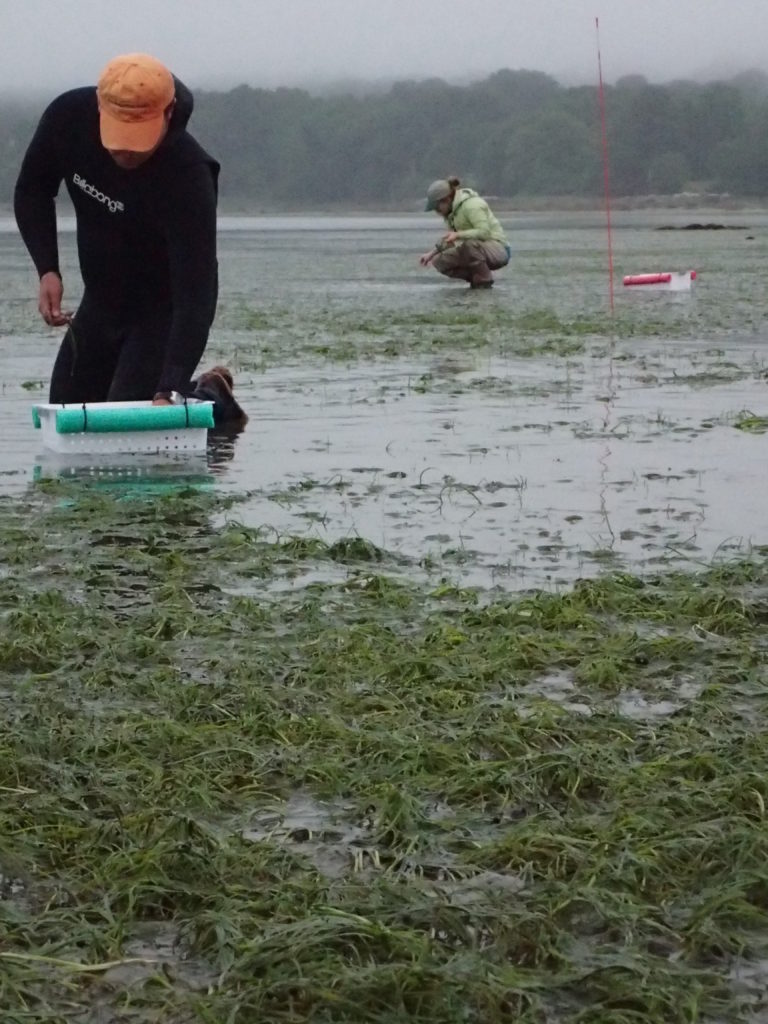
The photo illustrates a pilot project undertaken by the Eelgrass Consortium, made up of MeDEP, USGS, FOCB, USFWS, and CBEP, to test methods of transplanting eelgrass in Casco Bay.
