STATE OF CASCO BAY
Royal Highlights
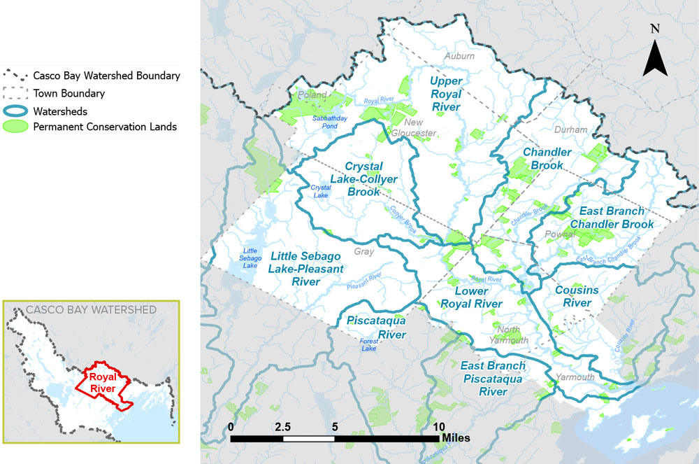
Every five years Casco Bay Estuary Partnership reports on the health of Casco Bay and its watershed. Based on the best available data, the State of Casco Bay report analyzes indicators of ecological changes in water quality, habitat, and more.
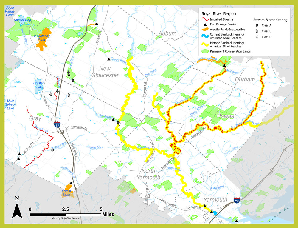
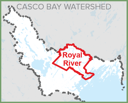
Presented here are key findings for the Royal region.
Indicator N: CONSERVED LANDS
Indicator H: NUTRIENTS
Indicator A: POPULATION & LAND USE
SPOTLIGHT
Community Collaboration
The Royal region has a long history of citizens and communities working together to protect natural areas. Starting in 1988, land trusts in the towns of New Gloucester, North Yarmouth, Pownal, and Yarmouth, were instrumental in establishing the Bradbury Mountain/Pinelands Corridor. Realizing the value of collaboration, these land trusts merged with Friends of the Royal River to form Royal River Conservation Trust (RRCT), which has conserved over 4,000 acres of land. RRCT, with CBEP support, has continued to expand the Intervale Preserve, which began with a donation in 1991 to New Gloucester Preservation Trust. Photo: RRCT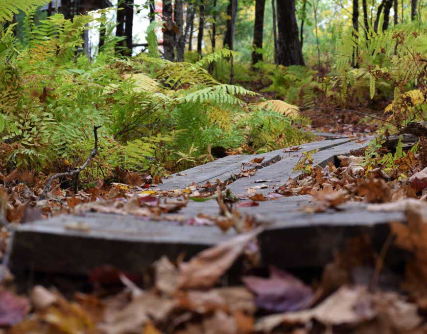
River Restoration
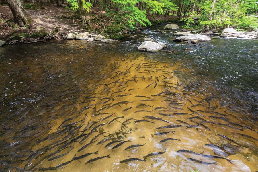
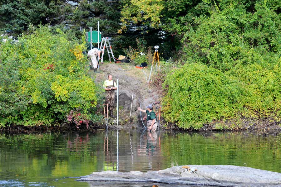
The 26 miles of the Royal River define this region. Several organizations are working toward removal of dams and other barriers to restore natural flow and riverine habitat, and improve movement of aquatic organisms. The “Rolling Stones” project removed dozens of three-ton granite blocks from the Royal River at Middle Falls to improve fish passage. Attention has now turned to consideration of two dams near the mouth of the river in Yarmouth, which has commissioned several studies with support from CBEP. Options are being assessed for addressing the impacts of Town-owned dams at Bridge Street and Elm Street, including a current study led by the U.S. Army Corps of Engineers. Photo: CBEP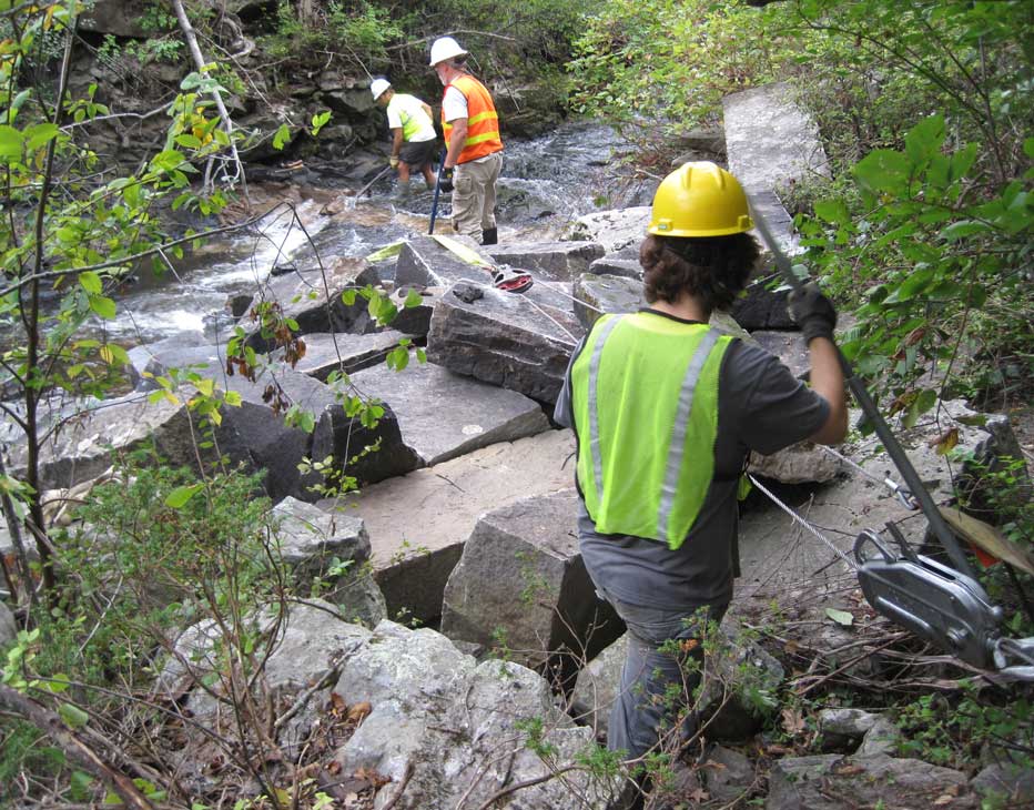
ON THE HORIZON
Balancing Growth and Conservation
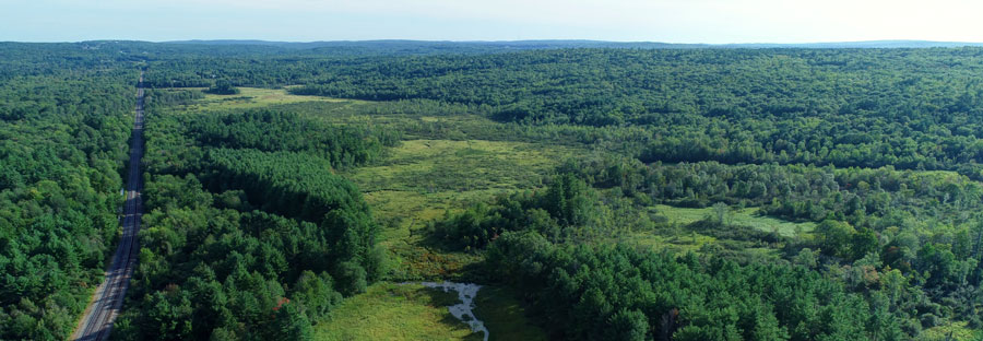
Land protection efforts in this region have seen significant success over the past decade, with most properties accessible for public use. These reserves will safeguard the character of communities, provide habitat for wildlife, protect water quality, and draw visitors for decades to come. Yet the region’s growing population and rising real estate values pose challenges. Costs of acquiring land for conservation are increasing, and new construction limits future opportunities. Time is short for balancing the various needs for land.
Dealing with Increased Stormwater Runoff
As a Census-designated urbanized area, Yarmouth is subject to the Small Municipal Separated Storm Sewer Systems (MS4) permitting regulations of the Clean Water Act, which regulate discharge of stormwater. Increased rainfall and storm intensity related to climate change will lead to increasing needs to reduce the water quality impacts of stormwater. Yarmouth’s MS4 permit contains a provision to encourage developers to include low-impact development techniques, which use practices that mimic or preserve natural drainage processes.
Cooperating Toward a Larger Goal
Seven land trusts and CBEP have formed the Greater Portland Conservation and Trails Initiative (GPCTI), a Regional Conservation Partnership aimed at strengthening collaboration on habitat conservation, recreation and trail connectivity, and access to open space. By identifying high-priority projects that cross municipal and regional lines, GPCTI will be able to enhance the ability of land trusts to raise consensus and funding for shared land conservation. Connected wildlife corridors and trail systems will benefit the entire area.
View a PDF version of this page that can be downloaded and printed.
Drivers & Stressors
What’s Affecting the Bay?
Human Connections
What’s Being Done?
If you would like to receive a printed State of Casco Bay report, send an email request to cbep@maine.edu.
This document has been funded by the U.S. Environmental Protection Agency under Cooperative Agreements #CE00A00348-0 and #CE00A00662-0 with the University of Southern Maine.
Suggested citation: Casco Bay Estuary Partnership. State of Casco Bay, 6th Edition (2021).
